Commuter Land - Noel Rise, Burgess Hill
Introduction
The photograph on this page of Commuter Land - Noel Rise, Burgess Hill by Pete Chapman as part of the Geograph project.
The Geograph project started in 2005 with the aim of publishing, organising and preserving representative images for every square kilometre of Great Britain, Ireland and the Isle of Man.

There are currently over 7.5m images from over 14,400 individuals and you can help contribute to the project by visiting https://www.geograph.org.uk
Commuter Land - Noel Rise, Burgess Hill
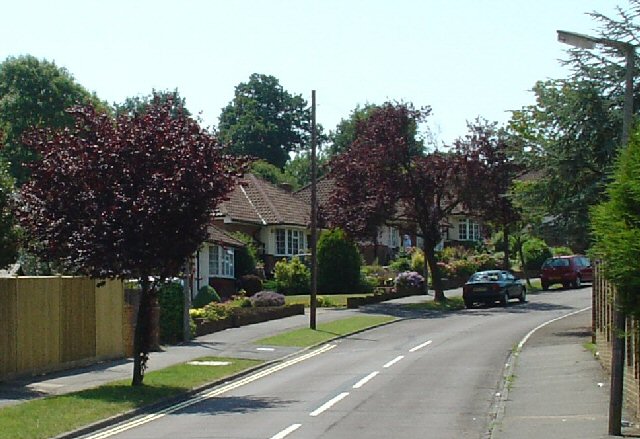
Image: © Pete Chapman Taken: 10 Jul 2005
A residential area of Burgess Hill. The view here is of 1950s houses built close to the main London-Brighton line station at Wivelsfield. There is an area of streets here with a similar style of housing. Burgess Hill is close enough to London to be a dormitory town for London workers.
Images are licensed for reuse under creativecommons.org/licenses/by-sa/2.0
Image Location


Leaflet Map data © OpenStreetMap
Latitude
50.963456
Longitude
-0.124527