A rural road junction with a view
Introduction
The photograph on this page of A rural road junction with a view by Eric Jones as part of the Geograph project.
The Geograph project started in 2005 with the aim of publishing, organising and preserving representative images for every square kilometre of Great Britain, Ireland and the Isle of Man.

There are currently over 7.5m images from over 14,400 individuals and you can help contribute to the project by visiting https://www.geograph.org.uk
A rural road junction with a view
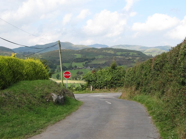
Image: © Eric Jones Taken: 1 Sep 2011
This is the junction of Owen's Road with the Ballymaginaghy Road. Beyond the Leitrim Valley, the Dromara Hills, topped by Slieve Croob (with the aerials), form the background
Images are licensed for reuse under creativecommons.org/licenses/by-sa/2.0
Image Location
Latitude
54.279707
Longitude
-5.967839