Junction Road, Burgess Hill
Introduction
The photograph on this page of Junction Road, Burgess Hill by Pete Chapman as part of the Geograph project.
The Geograph project started in 2005 with the aim of publishing, organising and preserving representative images for every square kilometre of Great Britain, Ireland and the Isle of Man.

There are currently over 7.5m images from over 14,400 individuals and you can help contribute to the project by visiting https://www.geograph.org.uk
Junction Road, Burgess Hill
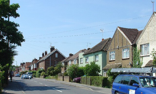
Image: © Pete Chapman Taken: 10 Jul 2005
A view looking SW along Junction Road. Typical suburban housing, built around the start of the 20th century, and in a convenient catchment area to Wivelsfield Station (approximately a quarter of a mile away) - classic commuter housing.
Images are licensed for reuse under creativecommons.org/licenses/by-sa/2.0
Image Location
Latitude
50.96159
Longitude
-0.12033