West Board Farm
Introduction
The photograph on this page of West Board Farm by Thomas Nugent as part of the Geograph project.
The Geograph project started in 2005 with the aim of publishing, organising and preserving representative images for every square kilometre of Great Britain, Ireland and the Isle of Man.

There are currently over 7.5m images from over 14,400 individuals and you can help contribute to the project by visiting https://www.geograph.org.uk
West Board Farm
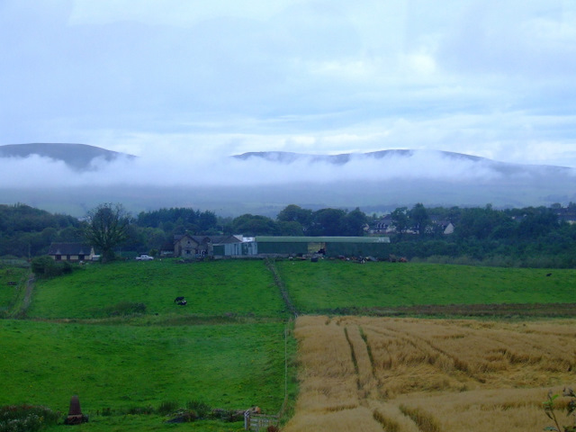
Image: © Thomas Nugent Taken: 27 Aug 2011
The mist is above the River Kelvin, with the Kilsyth Hills in the distance. Viewed from an Edinburgh bound train, just west of Croy station.
Images are licensed for reuse under creativecommons.org/licenses/by-sa/2.0
Image Location
Latitude
55.947506
Longitude
-4.073184