The village of Chesters
Introduction
The photograph on this page of The village of Chesters by Walter Baxter as part of the Geograph project.
The Geograph project started in 2005 with the aim of publishing, organising and preserving representative images for every square kilometre of Great Britain, Ireland and the Isle of Man.

There are currently over 7.5m images from over 14,400 individuals and you can help contribute to the project by visiting https://www.geograph.org.uk
The village of Chesters
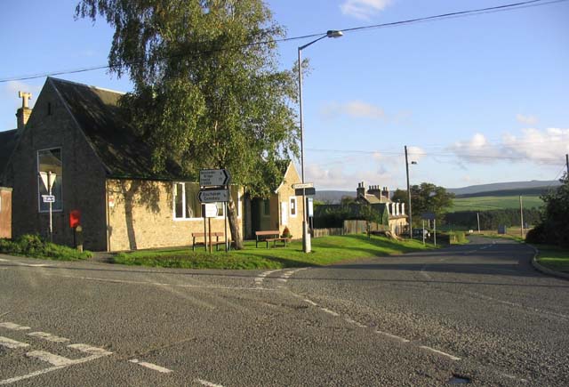
Image: © Walter Baxter Taken: 9 Oct 2006
This is looking down the A6088 that joins up with the A68 at Carter Bar. The village hall is on the left.
Images are licensed for reuse under creativecommons.org/licenses/by-sa/2.0
Image Location


Leaflet Map data © OpenStreetMap
Latitude
55.387909
Longitude
-2.595855