Meadow at Brandon
Introduction
The photograph on this page of Meadow at Brandon by Derek Harper as part of the Geograph project.
The Geograph project started in 2005 with the aim of publishing, organising and preserving representative images for every square kilometre of Great Britain, Ireland and the Isle of Man.

There are currently over 7.5m images from over 14,400 individuals and you can help contribute to the project by visiting https://www.geograph.org.uk
Meadow at Brandon
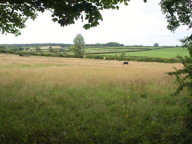
Image: © Derek Harper Taken: 29 Jul 2011
A view from Bridle Path Road. The meadow slopes towards the valley of the Brandon Drain. The rows of small conifers on the other side are on part of Brandon Golf Course.
Images are licensed for reuse under creativecommons.org/licenses/by-sa/2.0
Image Location
Latitude
53.858717
Longitude
-1.484554