Fields beside Gill Beck
Introduction
The photograph on this page of Fields beside Gill Beck by Derek Harper as part of the Geograph project.
The Geograph project started in 2005 with the aim of publishing, organising and preserving representative images for every square kilometre of Great Britain, Ireland and the Isle of Man.

There are currently over 7.5m images from over 14,400 individuals and you can help contribute to the project by visiting https://www.geograph.org.uk
Fields beside Gill Beck
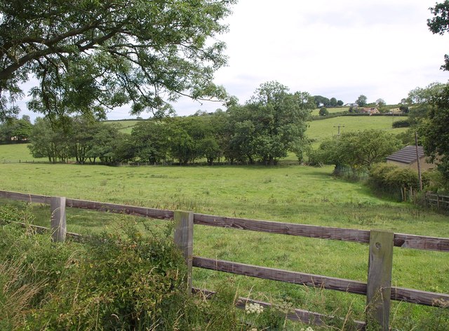
Image: © Derek Harper Taken: 29 Jul 2011
A view from Wike Lane, with a line of trees indicating the course of the stream. On the right is a waterworks.
Images are licensed for reuse under creativecommons.org/licenses/by-sa/2.0
Image Location
Latitude
53.879328
Longitude
-1.470611