Track damping system, Jordanstown level crossing
Introduction
The photograph on this page of Track damping system, Jordanstown level crossing by Albert Bridge as part of the Geograph project.
The Geograph project started in 2005 with the aim of publishing, organising and preserving representative images for every square kilometre of Great Britain, Ireland and the Isle of Man.

There are currently over 7.5m images from over 14,400 individuals and you can help contribute to the project by visiting https://www.geograph.org.uk
Track damping system, Jordanstown level crossing
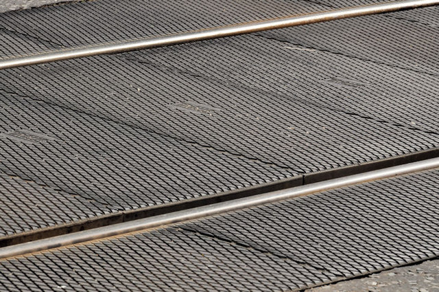
Image: © Albert Bridge Taken: 31 Aug 2011
“Strail” track damping in use on the level crossing Image at Jordanstown station. Read all about it here http://www.strail.de/index.php?id=5&L=1
Images are licensed for reuse under creativecommons.org/licenses/by-sa/2.0
Image Location
Latitude
54.687377
Longitude
-5.895093