Stream, Jordanstown (3)
Introduction
The photograph on this page of Stream, Jordanstown (3) by Albert Bridge as part of the Geograph project.
The Geograph project started in 2005 with the aim of publishing, organising and preserving representative images for every square kilometre of Great Britain, Ireland and the Isle of Man.

There are currently over 7.5m images from over 14,400 individuals and you can help contribute to the project by visiting https://www.geograph.org.uk
Stream, Jordanstown (3)
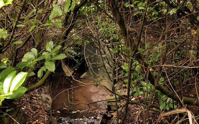
Image: © Albert Bridge Taken: 31 Aug 2011
Well hidden by vegetation, this stream (not named on the 1:12,000 map) rises (behind Jordanstown Heights) just over a ¼ mile north of this bridge Image on the Jordanstown Road. It continues, south, before joining the Three Mile Water in Valentine’s Glen (now part of the Glen Park). Not the same as this one Image
Images are licensed for reuse under creativecommons.org/licenses/by-sa/2.0
Image Location
Latitude
54.688219
Longitude
-5.902183