The Crescent, Snowdown
Introduction
The photograph on this page of The Crescent, Snowdown by Des Blenkinsopp as part of the Geograph project.
The Geograph project started in 2005 with the aim of publishing, organising and preserving representative images for every square kilometre of Great Britain, Ireland and the Isle of Man.

There are currently over 7.5m images from over 14,400 individuals and you can help contribute to the project by visiting https://www.geograph.org.uk
The Crescent, Snowdown
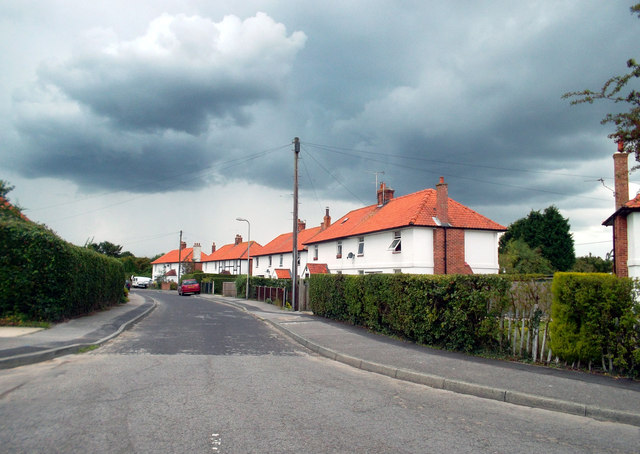
Image: © Des Blenkinsopp Taken: 27 Aug 2011
In that strange light you get just before a Summer storm. Five minutes later it was chucking it down. I'm guessing these houses at one time were home to miners from Snowdown Colliery just down the road, which was shut in the 1980s.
Images are licensed for reuse under creativecommons.org/licenses/by-sa/2.0
Image Location
Latitude
51.21669
Longitude
1.21184