Hedge and pasture near Morpeth
Introduction
The photograph on this page of Hedge and pasture near Morpeth by Maigheach-gheal as part of the Geograph project.
The Geograph project started in 2005 with the aim of publishing, organising and preserving representative images for every square kilometre of Great Britain, Ireland and the Isle of Man.

There are currently over 7.5m images from over 14,400 individuals and you can help contribute to the project by visiting https://www.geograph.org.uk
Hedge and pasture near Morpeth
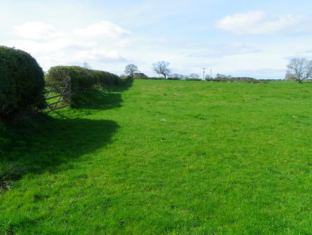
Image: © Maigheach-gheal Taken: 7 Apr 2011
It is difficult to date hedges unless there is documentary evidence as to their planting, but one theory is to count the species in a 30 metre stretch and each species counts as a century. Only count older plants and not saplings. Many of our hedge rows have been lost in recent decades as agricultural practice favoured larger and larger fields to cultivate. There are now grants available to farmers to replant hedgerows, where before, ironically, there were grants to grub them out!
Images are licensed for reuse under creativecommons.org/licenses/by-sa/2.0
Image Location
Latitude
55.176323
Longitude
-1.709185