"Gilmore's", Kircubbin
Introduction
The photograph on this page of "Gilmore's", Kircubbin by Albert Bridge as part of the Geograph project.
The Geograph project started in 2005 with the aim of publishing, organising and preserving representative images for every square kilometre of Great Britain, Ireland and the Isle of Man.

There are currently over 7.5m images from over 14,400 individuals and you can help contribute to the project by visiting https://www.geograph.org.uk
"Gilmore's", Kircubbin
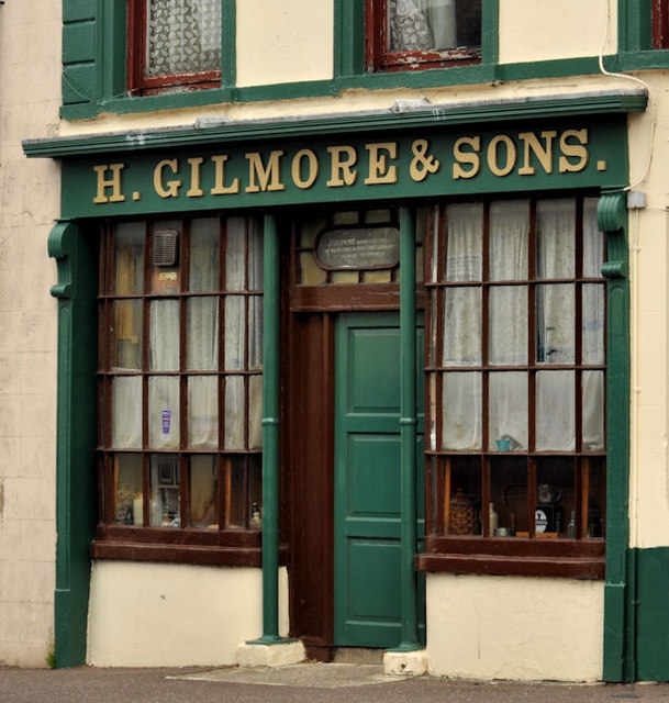
Image: © Albert Bridge Taken: 30 Aug 2011
Part of a listed (HB24/02/020) public house at 44 Main Street. The date of building is not specifically recorded but might be pre-1824. It is (to the layman) unaltered and an unusual survivor. Parked cars hindered a view of the entire premises. See also Image
Images are licensed for reuse under creativecommons.org/licenses/by-sa/2.0
Image Location
Latitude
54.488464
Longitude
-5.534909