Glynneath Flood Prevention plaque
Introduction
The photograph on this page of Glynneath Flood Prevention plaque by Jaggery as part of the Geograph project.
The Geograph project started in 2005 with the aim of publishing, organising and preserving representative images for every square kilometre of Great Britain, Ireland and the Isle of Man.

There are currently over 7.5m images from over 14,400 individuals and you can help contribute to the project by visiting https://www.geograph.org.uk
Glynneath Flood Prevention plaque
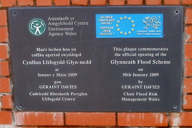
Image: © Jaggery Taken: 7 Aug 2011
The plaque on the flood prevention wall on the north bank of the River Neath records the official opening on January 30th 2009.
Images are licensed for reuse under creativecommons.org/licenses/by-sa/2.0
Image Location
Latitude
51.738578
Longitude
-3.637907