Waste land between the River Neath and Neath Canal, Glynneath
Introduction
The photograph on this page of Waste land between the River Neath and Neath Canal, Glynneath by Jaggery as part of the Geograph project.
The Geograph project started in 2005 with the aim of publishing, organising and preserving representative images for every square kilometre of Great Britain, Ireland and the Isle of Man.

There are currently over 7.5m images from over 14,400 individuals and you can help contribute to the project by visiting https://www.geograph.org.uk
Waste land between the River Neath and Neath Canal, Glynneath
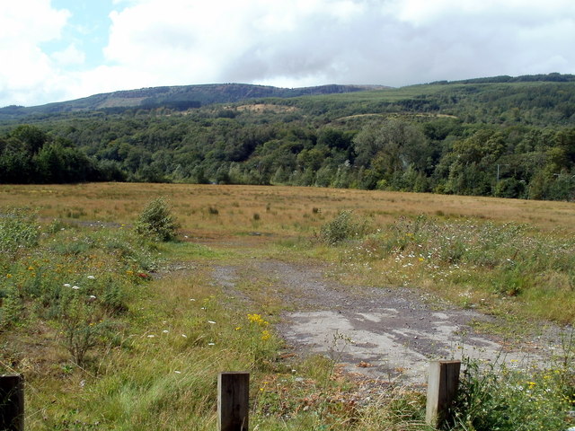
Image: © Jaggery Taken: 7 Aug 2011
Viewed from the B4242. There are remnants of a tarmacked surface.
Images are licensed for reuse under creativecommons.org/licenses/by-sa/2.0
Image Location


Leaflet Map data © OpenStreetMap
Latitude
51.739396
Longitude
-3.64373