
Kitchen Garden, Foxley
Introduction
The photograph on this page of Kitchen Garden, Foxley by Philip Pankhurst as part of the Geograph project.
The Geograph project started in 2005 with the aim of publishing, organising and preserving representative images for every square kilometre of Great Britain, Ireland and the Isle of Man.

There are currently over 7.5m images from over 14,400 individuals and you can help contribute to the project by visiting https://www.geograph.org.uk
Kitchen Garden, Foxley
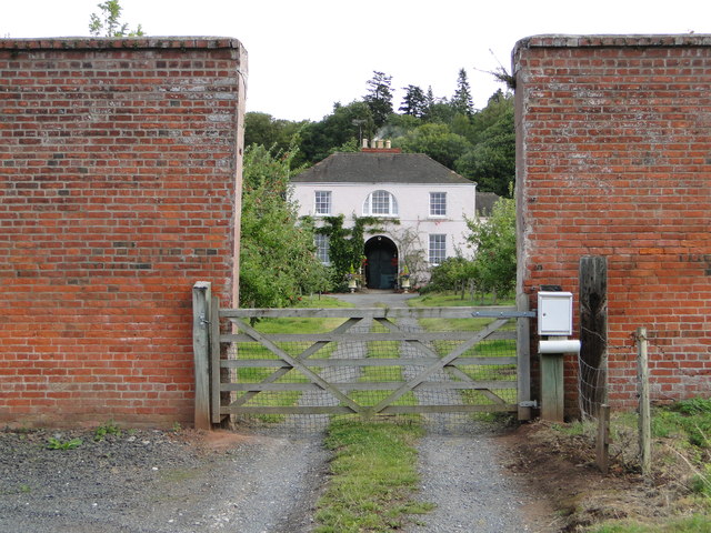
Image: © Philip Pankhurst Taken: 29 Aug 2011
'The walled kitchen garden (listed grade II; now Westmoor Gardens), probably early C19, lies outside the Yarsop Valley on the A44 [in fact, A480] Hereford to Kington road, c 750m south-west of the site of Foxley House. A two-storey, hip-roofed gardener's house stands at the centre of the north wall' - so says the National Heritage List.
Images are licensed for reuse under creativecommons.org/licenses/by-sa/2.0
Image Location

Latitude
52.109161
Longitude
-2.863503