A420 London Road, Wick
Introduction
The photograph on this page of A420 London Road, Wick by Neil Owen as part of the Geograph project.
The Geograph project started in 2005 with the aim of publishing, organising and preserving representative images for every square kilometre of Great Britain, Ireland and the Isle of Man.

There are currently over 7.5m images from over 14,400 individuals and you can help contribute to the project by visiting https://www.geograph.org.uk
A420 London Road, Wick
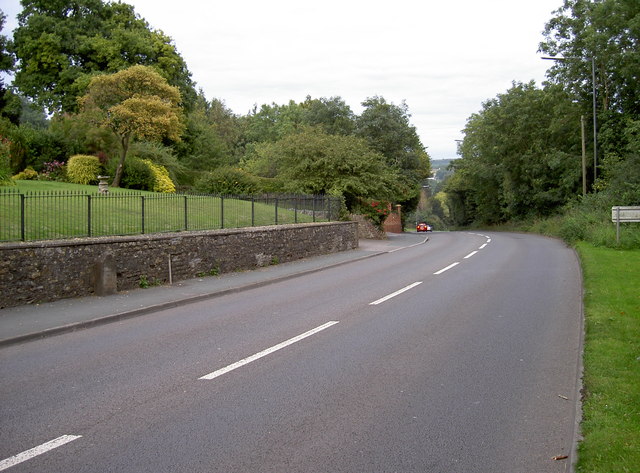
Image: © Neil Owen Taken: 29 Aug 2011
A view of the road as it descends down towards the village, eastward. To aid travellers (of a slower nature) a milestone is by the wall to left of frame. See Image] for a look at it and a rivet benchmark.
Images are licensed for reuse under creativecommons.org/licenses/by-sa/2.0
Image Location


Leaflet Map data © OpenStreetMap
Latitude
51.4527
Longitude
-2.446801