Heyroyd House
Introduction
The photograph on this page of Heyroyd House by Bill Boaden as part of the Geograph project.
The Geograph project started in 2005 with the aim of publishing, organising and preserving representative images for every square kilometre of Great Britain, Ireland and the Isle of Man.

There are currently over 7.5m images from over 14,400 individuals and you can help contribute to the project by visiting https://www.geograph.org.uk
Heyroyd House
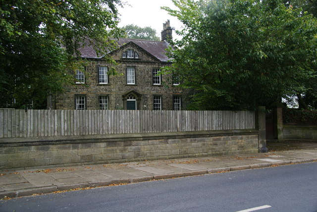
Image: © Bill Boaden Taken: 29 Aug 2011
A Grade II listed 18th Century house, slightly out of the built-up area on Skipton Old Road.
Images are licensed for reuse under creativecommons.org/licenses/by-sa/2.0
Image Location
Latitude
53.86414
Longitude
-2.144114