Cottage, Luddington
Introduction
The photograph on this page of Cottage, Luddington by Nigel Mykura as part of the Geograph project.
The Geograph project started in 2005 with the aim of publishing, organising and preserving representative images for every square kilometre of Great Britain, Ireland and the Isle of Man.

There are currently over 7.5m images from over 14,400 individuals and you can help contribute to the project by visiting https://www.geograph.org.uk
Cottage, Luddington
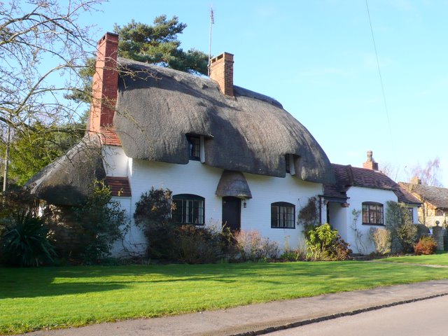
Image: © Nigel Mykura Taken: 6 Mar 2011
This thatched cottage is on the road through the centre of Luddington close to Manor Farm.
Images are licensed for reuse under creativecommons.org/licenses/by-sa/2.0
Image Location
Latitude
52.170606
Longitude
-1.758696