Pulling Up Area, Brighton Racecourse
Introduction
The photograph on this page of Pulling Up Area, Brighton Racecourse by Simon Carey as part of the Geograph project.
The Geograph project started in 2005 with the aim of publishing, organising and preserving representative images for every square kilometre of Great Britain, Ireland and the Isle of Man.

There are currently over 7.5m images from over 14,400 individuals and you can help contribute to the project by visiting https://www.geograph.org.uk
Pulling Up Area, Brighton Racecourse
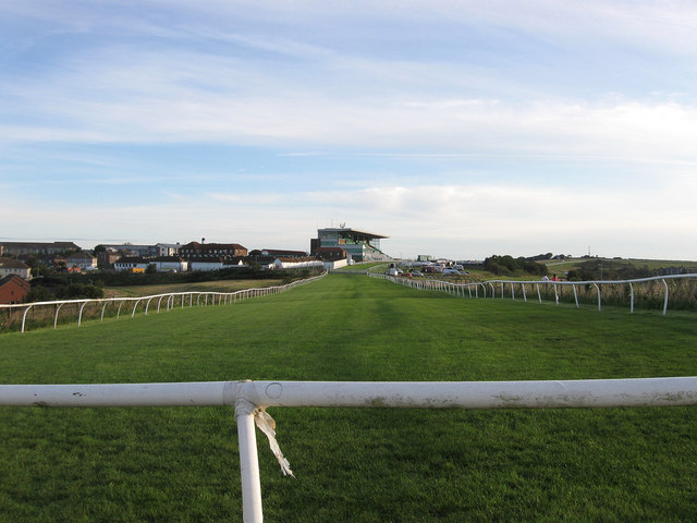
Image: © Simon Carey Taken: 29 Aug 2011
Opposite view of Image looking towards the grandstand. This part of the course was added in 1952 necessitating a crossing of a road called Manor Hill. To the left of the grandstand are a number of buildings belonging to Brighton General Hospital some of which date back to their original use as a workhouse.
Images are licensed for reuse under creativecommons.org/licenses/by-sa/2.0
Image Location
Latitude
50.827116
Longitude
-0.113382