Umfreville Road, Harringay
Introduction
The photograph on this page of Umfreville Road, Harringay by Stephen McKay as part of the Geograph project.
The Geograph project started in 2005 with the aim of publishing, organising and preserving representative images for every square kilometre of Great Britain, Ireland and the Isle of Man.

There are currently over 7.5m images from over 14,400 individuals and you can help contribute to the project by visiting https://www.geograph.org.uk
Umfreville Road, Harringay
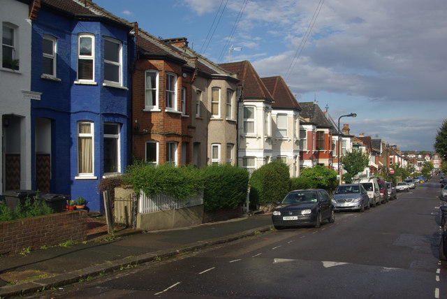
Image: © Stephen McKay Taken: 27 Aug 2011
A burst of sunshine following a rain shower catches the houses on the northern side of Umfreville Road. This is one of a set of twenty parallel streets, running between Green Lanes and Wightman Road, known collectively as the 'Harringay Ladder' because on a map or from the air that is what they resemble.
Images are licensed for reuse under creativecommons.org/licenses/by-sa/2.0
Image Location
Latitude
51.577149
Longitude
-0.103413