Narborough Hall
Introduction
The photograph on this page of Narborough Hall by Tim Heaton as part of the Geograph project.
The Geograph project started in 2005 with the aim of publishing, organising and preserving representative images for every square kilometre of Great Britain, Ireland and the Isle of Man.

There are currently over 7.5m images from over 14,400 individuals and you can help contribute to the project by visiting https://www.geograph.org.uk
Narborough Hall
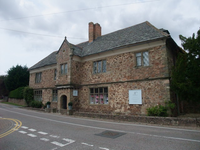
Image: © Tim Heaton Taken: 23 Jul 2011
Grade II listed Elizabethan Manor House, built with the local granite. http://www.narboroughhall.co.uk/history-2/ . Now a gift shop, and 2011 Independent Retailer of the Year.
Images are licensed for reuse under creativecommons.org/licenses/by-sa/2.0
Image Location
Latitude
52.571777
Longitude
-1.208649