Penclawdd Cemetery
Introduction
The photograph on this page of Penclawdd Cemetery by Nigel Davies as part of the Geograph project.
The Geograph project started in 2005 with the aim of publishing, organising and preserving representative images for every square kilometre of Great Britain, Ireland and the Isle of Man.

There are currently over 7.5m images from over 14,400 individuals and you can help contribute to the project by visiting https://www.geograph.org.uk
Penclawdd Cemetery
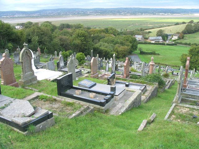
Image: © Nigel Davies Taken: 10 Oct 2006
Penclawdd cemetery is spread over a steep hillside. There's quite a view of the Loughor estuary from the high point.
Images are licensed for reuse under creativecommons.org/licenses/by-sa/2.0
Image Location
Latitude
51.636812
Longitude
-4.099566