Pityoulish Track
Introduction
The photograph on this page of Pityoulish Track by Mary and Angus Hogg as part of the Geograph project.
The Geograph project started in 2005 with the aim of publishing, organising and preserving representative images for every square kilometre of Great Britain, Ireland and the Isle of Man.

There are currently over 7.5m images from over 14,400 individuals and you can help contribute to the project by visiting https://www.geograph.org.uk
Pityoulish Track
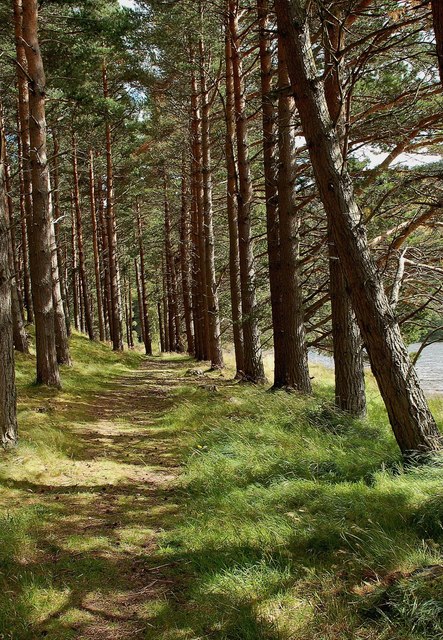
Image: © Mary and Angus Hogg Taken: 21 Aug 2011
This footpath gives anglers access to the loch.
Images are licensed for reuse under creativecommons.org/licenses/by-sa/2.0
Image Location
Latitude
57.204932
Longitude
-3.787231