Cycle track from Priory Gardens to cross Hanger Lane
Introduction
The photograph on this page of Cycle track from Priory Gardens to cross Hanger Lane by David Hawgood as part of the Geograph project.
The Geograph project started in 2005 with the aim of publishing, organising and preserving representative images for every square kilometre of Great Britain, Ireland and the Isle of Man.

There are currently over 7.5m images from over 14,400 individuals and you can help contribute to the project by visiting https://www.geograph.org.uk
Cycle track from Priory Gardens to cross Hanger Lane
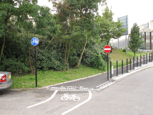
Image: © David Hawgood Taken: 21 Aug 2011
Priory Gardens has a subway under the North Circular to Park Royal, one to the centre of the Hanger Lane Gyratory, and this new cycle track to a "cyclists only" crossing on Hanger Lane.
Images are licensed for reuse under creativecommons.org/licenses/by-sa/2.0
Image Location
Latitude
51.531886
Longitude
-0.294745