Bunker on Otley Chevin, Guiseley
Introduction
The photograph on this page of Bunker on Otley Chevin, Guiseley by Humphrey Bolton as part of the Geograph project.
The Geograph project started in 2005 with the aim of publishing, organising and preserving representative images for every square kilometre of Great Britain, Ireland and the Isle of Man.

There are currently over 7.5m images from over 14,400 individuals and you can help contribute to the project by visiting https://www.geograph.org.uk
Bunker on Otley Chevin, Guiseley
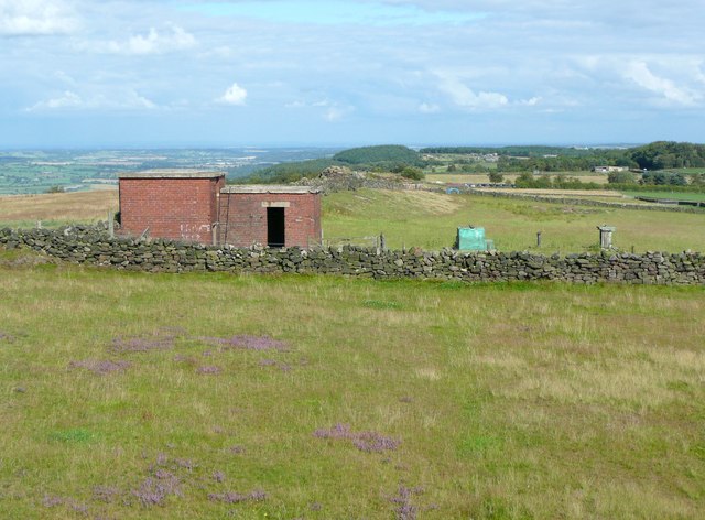
Image: © Humphrey Bolton Taken: 14 Aug 2011
I think this is one of the Royal Observer Corps bunkers, constructed to monitor radiation levels during the 'Cold War' in the second half of the 20C. Interesting that heather is re-establishing itself in the pasture (in the foreground).
Images are licensed for reuse under creativecommons.org/licenses/by-sa/2.0
Image Location
Latitude
53.892696
Longitude
-1.697163