Datchet Village centre
Introduction
The photograph on this page of Datchet Village centre by Darren Smith as part of the Geograph project.
The Geograph project started in 2005 with the aim of publishing, organising and preserving representative images for every square kilometre of Great Britain, Ireland and the Isle of Man.

There are currently over 7.5m images from over 14,400 individuals and you can help contribute to the project by visiting https://www.geograph.org.uk
Datchet Village centre
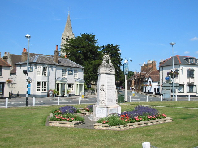
Image: © Darren Smith Taken: 10 Jul 2005
Datchet is a pleasant village east of Windsor and south of Slough. The church of St. Mary the Virgin can be seen in the background; the war memorial in the foreground.
Images are licensed for reuse under creativecommons.org/licenses/by-sa/2.0
Image Location


Leaflet Map data © OpenStreetMap
Latitude
51.483334
Longitude
-0.57855