Wilderness Road
Introduction
The photograph on this page of Wilderness Road by Ian Capper as part of the Geograph project.
The Geograph project started in 2005 with the aim of publishing, organising and preserving representative images for every square kilometre of Great Britain, Ireland and the Isle of Man.

There are currently over 7.5m images from over 14,400 individuals and you can help contribute to the project by visiting https://www.geograph.org.uk
Wilderness Road
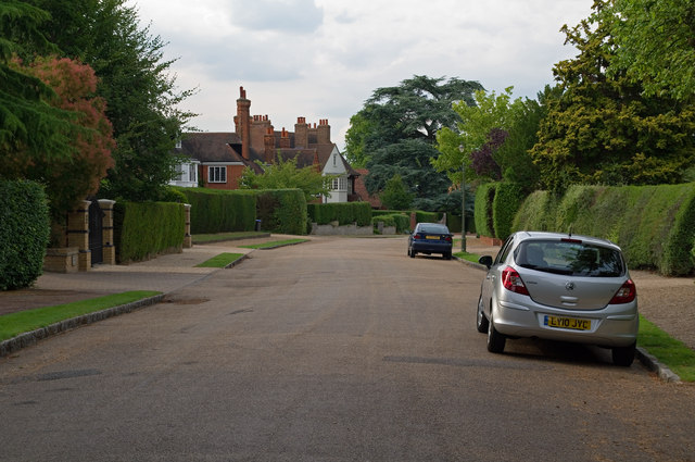
Image: © Ian Capper Taken: 14 Jul 2011
Originally called The Wilderness, this road was developed by William Willett on the site of part of the former Camden Place estate. The house in the background is Holne Chase (see Image) with part of Copley Dene (see Image) to its left.
Images are licensed for reuse under creativecommons.org/licenses/by-sa/2.0
Image Location
Latitude
51.412918
Longitude
0.065687