River Washburn at Timble Beck confluence
Introduction
The photograph on this page of River Washburn at Timble Beck confluence by Derek Harper as part of the Geograph project.
The Geograph project started in 2005 with the aim of publishing, organising and preserving representative images for every square kilometre of Great Britain, Ireland and the Isle of Man.

There are currently over 7.5m images from over 14,400 individuals and you can help contribute to the project by visiting https://www.geograph.org.uk
River Washburn at Timble Beck confluence
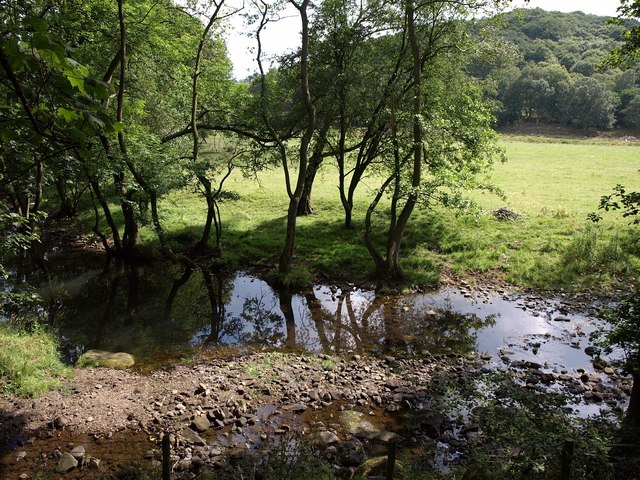
Image: © Derek Harper Taken: 28 Jul 2011
The stony spit between the watercourses shown in Image, seen from above on footpath 15 6/34/2. High Wood is across the valley.
Images are licensed for reuse under creativecommons.org/licenses/by-sa/2.0
Image Location
Latitude
53.961136
Longitude
-1.714652