Recreational ground at The Barony
Introduction
The photograph on this page of Recreational ground at The Barony by Espresso Addict as part of the Geograph project.
The Geograph project started in 2005 with the aim of publishing, organising and preserving representative images for every square kilometre of Great Britain, Ireland and the Isle of Man.

There are currently over 7.5m images from over 14,400 individuals and you can help contribute to the project by visiting https://www.geograph.org.uk
Recreational ground at The Barony
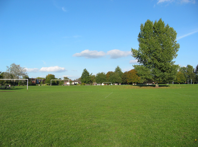
Image: © Espresso Addict Taken: 9 Oct 2006
Northern end of a large recreational ground north east of the town centre; it straddles the boundary with Image
Images are licensed for reuse under creativecommons.org/licenses/by-sa/2.0
Image Location
Latitude
53.074009
Longitude
-2.516398