Sparkwell: West Devon Way
Introduction
The photograph on this page of Sparkwell: West Devon Way by Martin Bodman as part of the Geograph project.
The Geograph project started in 2005 with the aim of publishing, organising and preserving representative images for every square kilometre of Great Britain, Ireland and the Isle of Man.

There are currently over 7.5m images from over 14,400 individuals and you can help contribute to the project by visiting https://www.geograph.org.uk
Sparkwell: West Devon Way
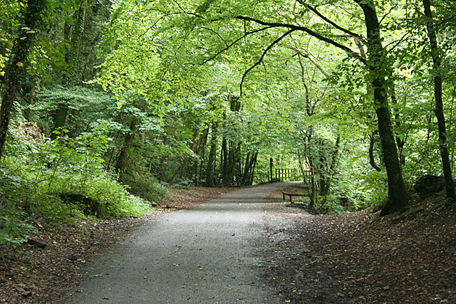
Image: © Martin Bodman Taken: 25 Aug 2011
On the formation of the Plymouth-Tavistock railway, near Plym Bridge. This is also known as the Plym Valley Trail, part of a cycle route linking Ilfracombe on Devon's north coast, with Plymouth, on the English Channel. The Plym Valley Trail runs - in 2011 - from Clearbrook to Saltram House
Images are licensed for reuse under creativecommons.org/licenses/by-sa/2.0
Image Location
Latitude
50.409684
Longitude
-4.077903