Nant Gwrach flows towards High Street, Cwmgwrach
Introduction
The photograph on this page of Nant Gwrach flows towards High Street, Cwmgwrach by Jaggery as part of the Geograph project.
The Geograph project started in 2005 with the aim of publishing, organising and preserving representative images for every square kilometre of Great Britain, Ireland and the Isle of Man.

There are currently over 7.5m images from over 14,400 individuals and you can help contribute to the project by visiting https://www.geograph.org.uk
Nant Gwrach flows towards High Street, Cwmgwrach
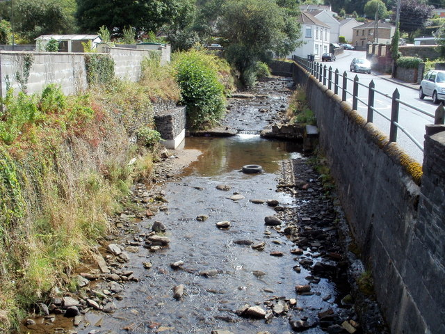
Image: © Jaggery Taken: 7 Aug 2011
The view upstream from the corner of High Street and Cefn Gelli. The road on the right is Heol Wenallt. After flowing under High Street, the stream enters the River Neath about 600 metres away.
Images are licensed for reuse under creativecommons.org/licenses/by-sa/2.0
Image Location
Latitude
51.734023
Longitude
-3.642086