M4 approaches Monkey Island Lane overbridge
Introduction
The photograph on this page of M4 approaches Monkey Island Lane overbridge by Stuart Logan as part of the Geograph project.
The Geograph project started in 2005 with the aim of publishing, organising and preserving representative images for every square kilometre of Great Britain, Ireland and the Isle of Man.

There are currently over 7.5m images from over 14,400 individuals and you can help contribute to the project by visiting https://www.geograph.org.uk
M4 approaches Monkey Island Lane overbridge
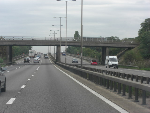
Image: © Stuart Logan Taken: 24 Aug 2011
Do the road planners put these bridges on the edge of the square on purpose? Anyhow, the lane serves the island in the Thames of the same name and connects it to Bray.
Images are licensed for reuse under creativecommons.org/licenses/by-sa/2.0
Image Location
Latitude
51.504779
Longitude
-0.690414