Farmland around Fell End
Introduction
The photograph on this page of Farmland around Fell End by Mike Quinn as part of the Geograph project.
The Geograph project started in 2005 with the aim of publishing, organising and preserving representative images for every square kilometre of Great Britain, Ireland and the Isle of Man.

There are currently over 7.5m images from over 14,400 individuals and you can help contribute to the project by visiting https://www.geograph.org.uk
Farmland around Fell End
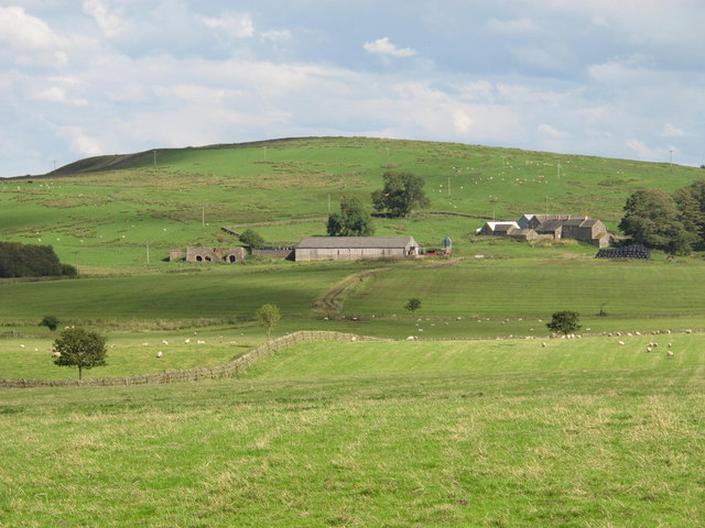
Image: © Mike Quinn Taken: 25 Aug 2011
Shows the location of Image Photo taken from the minor road that runs north from the Military Road towards Carvoran in Image
Images are licensed for reuse under creativecommons.org/licenses/by-sa/2.0
Image Location
Latitude
54.98305
Longitude
-2.50468