Footpath towards Bolster
Introduction
The photograph on this page of Footpath towards Bolster by Graham Horn as part of the Geograph project.
The Geograph project started in 2005 with the aim of publishing, organising and preserving representative images for every square kilometre of Great Britain, Ireland and the Isle of Man.

There are currently over 7.5m images from over 14,400 individuals and you can help contribute to the project by visiting https://www.geograph.org.uk
Footpath towards Bolster
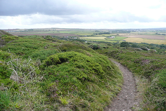
Image: © Graham Horn Taken: 8 Jul 2011
This is on the southern side of the St Agnes Beacon open access area, owned by the National Trust. Moorland paths abound, leading down to pastures and arable land.
Images are licensed for reuse under creativecommons.org/licenses/by-sa/2.0
Image Location
Latitude
50.30444
Longitude
-5.218654