The River Derwent
Introduction
The photograph on this page of The River Derwent by Pauline E as part of the Geograph project.
The Geograph project started in 2005 with the aim of publishing, organising and preserving representative images for every square kilometre of Great Britain, Ireland and the Isle of Man.

There are currently over 7.5m images from over 14,400 individuals and you can help contribute to the project by visiting https://www.geograph.org.uk
The River Derwent
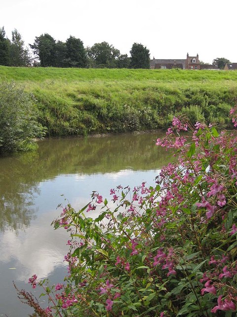
Image: © Pauline E Taken: 25 Aug 2011
With Himalayan Balsam colonising the banks. View towards Norton. The Derwent rises on Fylingdales Moor, flows southwards as far as its confluence with the River Hertford then westwards through the Vale of Pickering, south through Kirkham Gorge and the Vale of York and joins the River Ouse at Barmby on the Marsh.
Images are licensed for reuse under creativecommons.org/licenses/by-sa/2.0
Image Location
Latitude
54.13456
Longitude
-0.785212