Steps up Gallions Hill
Introduction
The photograph on this page of Steps up Gallions Hill by David Anstiss as part of the Geograph project.
The Geograph project started in 2005 with the aim of publishing, organising and preserving representative images for every square kilometre of Great Britain, Ireland and the Isle of Man.

There are currently over 7.5m images from over 14,400 individuals and you can help contribute to the project by visiting https://www.geograph.org.uk
Steps up Gallions Hill
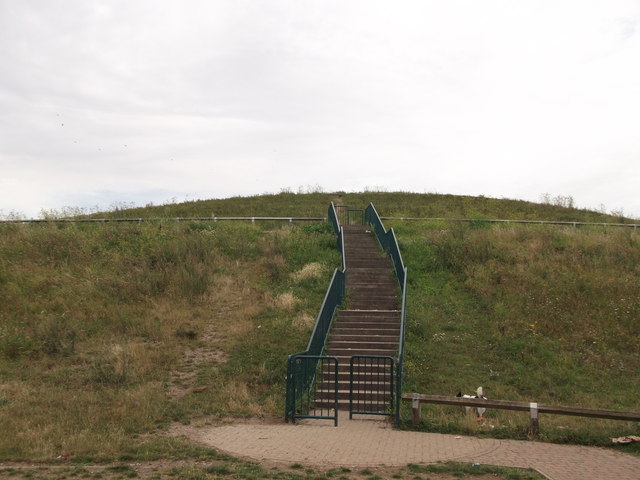
Image: © David Anstiss Taken: 21 Aug 2011
A path and steps lead from Bailey Close, to a path that swirls around the hill the top. The hill is a twenty-metre-high landmark created from recycled excavated material.
Images are licensed for reuse under creativecommons.org/licenses/by-sa/2.0
Image Location
Latitude
51.502368
Longitude
0.090162