View towards Erith
Introduction
The photograph on this page of View towards Erith by David Anstiss as part of the Geograph project.
The Geograph project started in 2005 with the aim of publishing, organising and preserving representative images for every square kilometre of Great Britain, Ireland and the Isle of Man.

There are currently over 7.5m images from over 14,400 individuals and you can help contribute to the project by visiting https://www.geograph.org.uk
View towards Erith
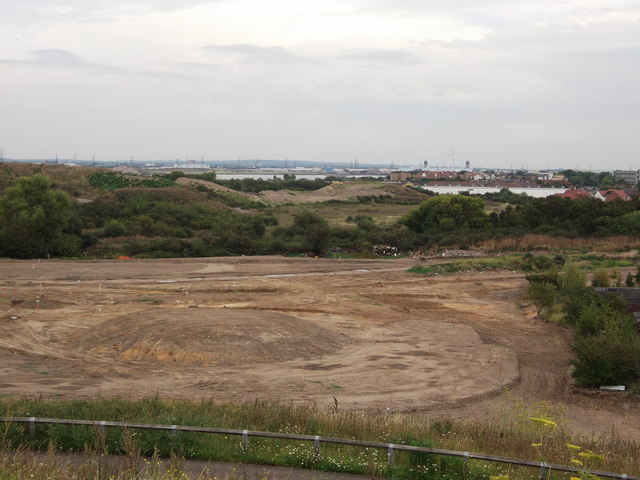
Image: © David Anstiss Taken: 21 Aug 2011
As seen from Gallions Hill. Looking over another phase of the Gallions Reach Urban Village (ecopark of houses). This land also includes Gallions Reach Park (a 14.3 acre), public open space land, currently being developed.
Images are licensed for reuse under creativecommons.org/licenses/by-sa/2.0
Image Location
Latitude
51.502956
Longitude
0.092494