View towards Plumstead
Introduction
The photograph on this page of View towards Plumstead by David Anstiss as part of the Geograph project.
The Geograph project started in 2005 with the aim of publishing, organising and preserving representative images for every square kilometre of Great Britain, Ireland and the Isle of Man.

There are currently over 7.5m images from over 14,400 individuals and you can help contribute to the project by visiting https://www.geograph.org.uk
View towards Plumstead
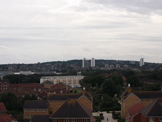
Image: © David Anstiss Taken: 21 Aug 2011
As seen from Gallions Hill. Looking over the Gallions Reach Urban Village (ecopark of houses). The pale block in the background is Image Further back is trees of Plumstead Common.
Images are licensed for reuse under creativecommons.org/licenses/by-sa/2.0
Image Location
Latitude
51.501811
Longitude
0.091145