The E Range, Royal Arsenal
Introduction
The photograph on this page of The E Range, Royal Arsenal by David Anstiss as part of the Geograph project.
The Geograph project started in 2005 with the aim of publishing, organising and preserving representative images for every square kilometre of Great Britain, Ireland and the Isle of Man.

There are currently over 7.5m images from over 14,400 individuals and you can help contribute to the project by visiting https://www.geograph.org.uk
The E Range, Royal Arsenal
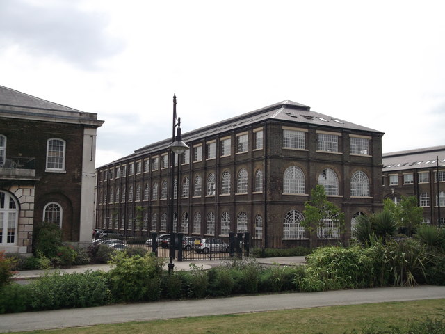
Image: © David Anstiss Taken: 21 Aug 2011
Buildings 49, 48 and 47 (looking left to right) are all part the Grand Store of the Ordnance factories. All Grade II listed and now converted into apartments. See http://www.britishlistedbuildings.co.uk/en-200493-royal-arsenal-the-grand-store-e-range-bu for more details of the buildings.
Images are licensed for reuse under creativecommons.org/licenses/by-sa/2.0
Image Location
Latitude
51.495196
Longitude
0.073698