Rivet benchmark on Treforris Road, Dwygyfylchi
Introduction
The photograph on this page of Rivet benchmark on Treforris Road, Dwygyfylchi by Meirion as part of the Geograph project.
The Geograph project started in 2005 with the aim of publishing, organising and preserving representative images for every square kilometre of Great Britain, Ireland and the Isle of Man.

There are currently over 7.5m images from over 14,400 individuals and you can help contribute to the project by visiting https://www.geograph.org.uk
Rivet benchmark on Treforris Road, Dwygyfylchi
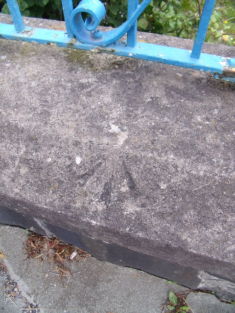
Image: © Meirion Taken: 21 Aug 2011
This rivet benchmark is located on the low boundary wall of the school on Treforris Road in Dwygyfylchgi and it is shown in the current Ordnance Survey database at a height of 57.4761m above the Newlyn datum.
Images are licensed for reuse under creativecommons.org/licenses/by-sa/2.0
Image Location
Latitude
53.274399
Longitude
-3.904055