No visible path
Introduction
The photograph on this page of No visible path by Liz Stone as part of the Geograph project.
The Geograph project started in 2005 with the aim of publishing, organising and preserving representative images for every square kilometre of Great Britain, Ireland and the Isle of Man.

There are currently over 7.5m images from over 14,400 individuals and you can help contribute to the project by visiting https://www.geograph.org.uk
No visible path
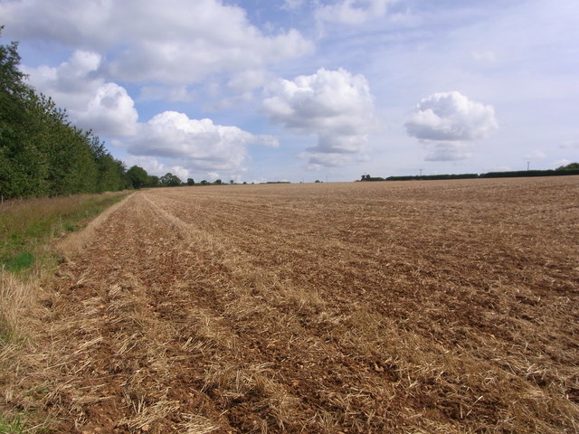
Image: © Liz Stone Taken: 22 Aug 2011
Cross-field path will be re-instated, near Fox Hill Farm.
Images are licensed for reuse under creativecommons.org/licenses/by-sa/2.0
Image Location
Latitude
51.869194
Longitude
-1.781806