The junction of Backaderry Road and Herrons Road east of the village of Leitrim
Introduction
The photograph on this page of The junction of Backaderry Road and Herrons Road east of the village of Leitrim by Eric Jones as part of the Geograph project.
The Geograph project started in 2005 with the aim of publishing, organising and preserving representative images for every square kilometre of Great Britain, Ireland and the Isle of Man.

There are currently over 7.5m images from over 14,400 individuals and you can help contribute to the project by visiting https://www.geograph.org.uk
The junction of Backaderry Road and Herrons Road east of the village of Leitrim
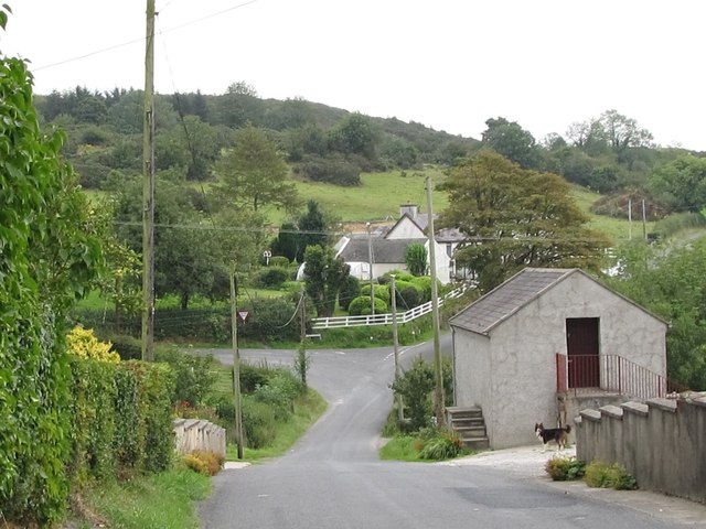
Image: © Eric Jones Taken: 23 Aug 2011
The wee chap on the lead half way down the road is a good guard dog.
Images are licensed for reuse under creativecommons.org/licenses/by-sa/2.0
Image Location
Latitude
54.288522
Longitude
-5.984453