Lynton: towards Queen Street
Introduction
The photograph on this page of Lynton: towards Queen Street by Martin Bodman as part of the Geograph project.
The Geograph project started in 2005 with the aim of publishing, organising and preserving representative images for every square kilometre of Great Britain, Ireland and the Isle of Man.

There are currently over 7.5m images from over 14,400 individuals and you can help contribute to the project by visiting https://www.geograph.org.uk
Lynton: towards Queen Street
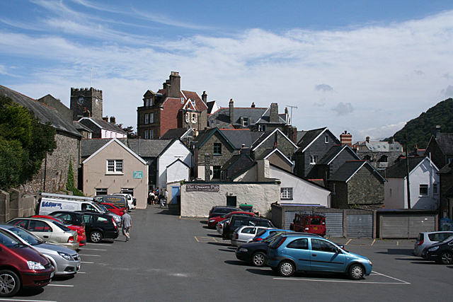
Image: © Martin Bodman Taken: 22 Aug 2011
Seen from the central car park, with the tower of St Mary the Virgin on the skyline, to the left
Images are licensed for reuse under creativecommons.org/licenses/by-sa/2.0
Image Location


Leaflet Map data © OpenStreetMap
Latitude
51.229475
Longitude
-3.835035