Bloody Gate, Wootton, detail
Introduction
The photograph on this page of Bloody Gate, Wootton, detail by Jonathan Thacker as part of the Geograph project.
The Geograph project started in 2005 with the aim of publishing, organising and preserving representative images for every square kilometre of Great Britain, Ireland and the Isle of Man.

There are currently over 7.5m images from over 14,400 individuals and you can help contribute to the project by visiting https://www.geograph.org.uk
Bloody Gate, Wootton, detail
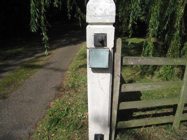
Image: © Jonathan Thacker Taken: 22 Aug 2011
The plaque reads : "Bloody Gate" so called until 1825 when the original public way from Wootton to Thornton was superseded by the existing road. It still doesn't answer the question though: Why Bloody Gate ?
Images are licensed for reuse under creativecommons.org/licenses/by-sa/2.0
Image Location
Latitude
53.630855
Longitude
-0.356618