Plumstead Garden
Introduction
The photograph on this page of Plumstead Garden by David Anstiss as part of the Geograph project.
The Geograph project started in 2005 with the aim of publishing, organising and preserving representative images for every square kilometre of Great Britain, Ireland and the Isle of Man.

There are currently over 7.5m images from over 14,400 individuals and you can help contribute to the project by visiting https://www.geograph.org.uk
Plumstead Garden
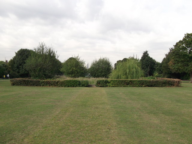
Image: © David Anstiss Taken: 21 Aug 2011
A rectangle of land near Church Manor Way has been used by the council as recreational ground, with a small hedged formal garden within the centre. Though unfortunely not maintained apart from the hedges being cut.
Images are licensed for reuse under creativecommons.org/licenses/by-sa/2.0
Image Location
Latitude
51.489241
Longitude
0.100077