NE side of Gaer Vale, Newport
Introduction
The photograph on this page of NE side of Gaer Vale, Newport by Jaggery as part of the Geograph project.
The Geograph project started in 2005 with the aim of publishing, organising and preserving representative images for every square kilometre of Great Britain, Ireland and the Isle of Man.

There are currently over 7.5m images from over 14,400 individuals and you can help contribute to the project by visiting https://www.geograph.org.uk
NE side of Gaer Vale, Newport
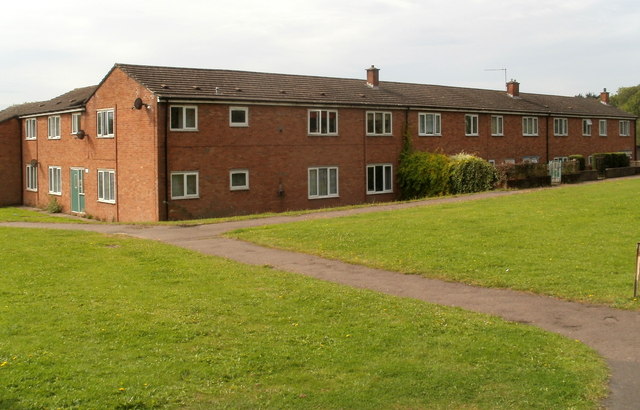
Image: © Jaggery Taken: 23 Aug 2011
Housing viewed from the footpath alongside the railway fence at the northern edge of the Gaer Vale.
Images are licensed for reuse under creativecommons.org/licenses/by-sa/2.0
Image Location
Latitude
51.572978
Longitude
-3.014337