Leading To Public Footpaths
Introduction
The photograph on this page of Leading To Public Footpaths by Keith Evans as part of the Geograph project.
The Geograph project started in 2005 with the aim of publishing, organising and preserving representative images for every square kilometre of Great Britain, Ireland and the Isle of Man.

There are currently over 7.5m images from over 14,400 individuals and you can help contribute to the project by visiting https://www.geograph.org.uk
Leading To Public Footpaths
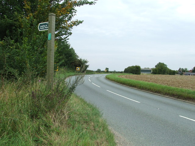
Image: © Keith Evans Taken: 21 Aug 2011
Sign at the side of the B1078 near to Ringshall Stocks, Suffolk. For close up view of the sign see http://www.geograph.org.uk/photo/2566532
Images are licensed for reuse under creativecommons.org/licenses/by-sa/2.0
Image Location
Latitude
52.124946
Longitude
1.000473