Hewlett Way, Ruspidge
Introduction
The photograph on this page of Hewlett Way, Ruspidge by Eric Soons as part of the Geograph project.
The Geograph project started in 2005 with the aim of publishing, organising and preserving representative images for every square kilometre of Great Britain, Ireland and the Isle of Man.

There are currently over 7.5m images from over 14,400 individuals and you can help contribute to the project by visiting https://www.geograph.org.uk
Hewlett Way, Ruspidge
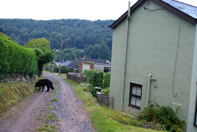
Image: © Eric Soons Taken: 22 Aug 2011
Looking down the unmettale portion of Hewlett Way, Ruspidge towards Grindles Lane, which is the local name for the hand-railed footpath connecting Buckshaft Road with Tramway Road.
Images are licensed for reuse under creativecommons.org/licenses/by-sa/2.0
Image Location
Latitude
51.802216
Longitude
-2.507534