East Wear Bay
Introduction
The photograph on this page of East Wear Bay by Raimund Zozmann as part of the Geograph project.
The Geograph project started in 2005 with the aim of publishing, organising and preserving representative images for every square kilometre of Great Britain, Ireland and the Isle of Man.

There are currently over 7.5m images from over 14,400 individuals and you can help contribute to the project by visiting https://www.geograph.org.uk
East Wear Bay
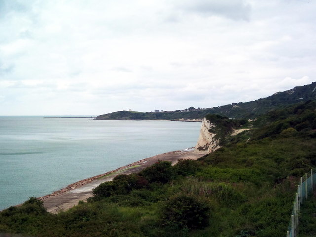
Image: © Raimund Zozmann Taken: 13 Jul 2011
Folkestone, Wear Bay and East Cliff with Copt Point seen from footbridge. Martello Tower No. 3 and Folkestone harbour pier visible in the distance.
Images are licensed for reuse under creativecommons.org/licenses/by-sa/2.0
Image Location
Latitude
51.085207
Longitude
1.197861