Skipton, Springs Branch Canal, footpath
Introduction
The photograph on this page of Skipton, Springs Branch Canal, footpath by Robert Murray as part of the Geograph project.
The Geograph project started in 2005 with the aim of publishing, organising and preserving representative images for every square kilometre of Great Britain, Ireland and the Isle of Man.

There are currently over 7.5m images from over 14,400 individuals and you can help contribute to the project by visiting https://www.geograph.org.uk
Skipton, Springs Branch Canal, footpath
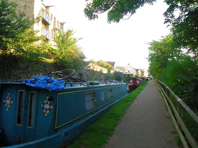
Image: © Robert Murray Taken: 17 Aug 2011
Berthed barges line this stretch. The towpath separates the canal form the Eller Beck which is off-picture to the right.
Images are licensed for reuse under creativecommons.org/licenses/by-sa/2.0
Image Location
Latitude
53.962282
Longitude
-2.018254